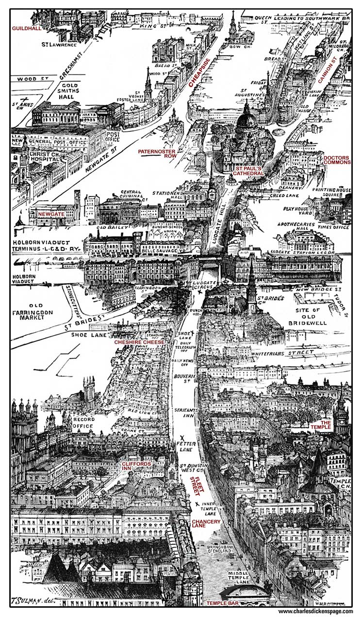
Charles Dickens Aerial London Map > Fleet Street and Ludgate Hill to St Paul's Cathedral
Fleet Street and Ludgate Hill to St Paul's Cathedral
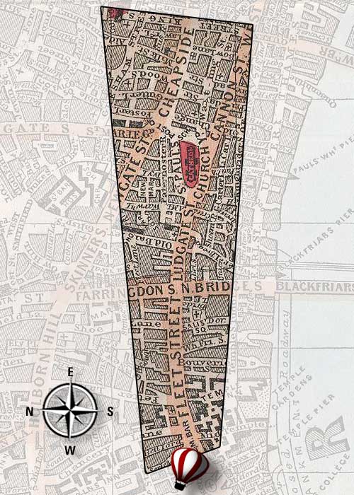
Bird's-Eye Views of Victorian London
Select an area with Charles Dickens associations to learn more.
Footprint on Reynolds' 1862 Map of London
Affiliate Links Disclosure
The Charles Dickens Page is a member of affiliate programs at Amazon and Zazzle. This means that there are links that take users to sites where products that we recommend are offered for sale. If purchases are made on these sites The Charles Dickens Page receives a small commission.
